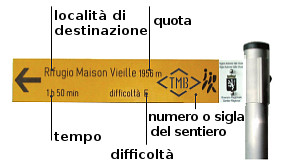
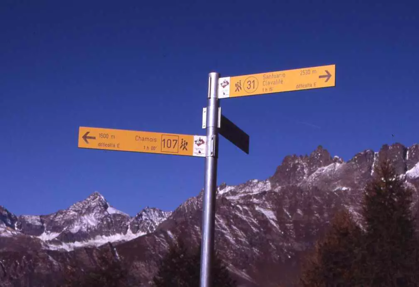
Vertical signage

It consists of poles with yellow signposts showing the path number or initials, the toponym of the place to be reached, the altitude of the destination, the walking time and the difficulty of the path , which can be:
T = excursion-tourist itinerary: itineraries on small roads, mule tracks or wide paths. The routes are generally not long and do not present any orientation problems.
E = hiking itinerary without technical difficulties: itineraries on paths or obvious traces in the terrain of various kinds (pastures, debris, stony ground ...). They are generally marked with paint or cairns (pyramid-shaped stacked stones that allow you to identify the path even from a distance). They require sufficient orientation skills, walking training even for a few hours.
EE = itinerary for expert hikers: itineraries generally marked but presenting some difficulties: the terrain can consist of slippery slopes of grass, mixed rocks and grass, stony ground, light snow-covered slopes or even single rocky passages that are easy to climb (use of hands in some points). The routes do not require particular equipment, but there may be aided sections even if not very demanding. They require a good knowledge of the alpine environment, sure-footedness and absence of vertigo. Physical preparation must be adequate for a day of fairly continuous walking.
EEA = itinerary for expert hikers with equipment: equipped routes (or via ferratas) that require the use of self-insurance devices.
The vertical signs are located at the entrance of the paths and near the rest points (refuges, bivouacs, ..), from there on it is the horizontal signs to indicate the path.
Horizontal signs
It consists of symbols made of yellow paint with inscribed numbers in black or an initials of letters, integrated with directional arrows and is made on the stones, at the crossroads and at the crossroads of the paths.
